Yellowstone National Park, Wyoming
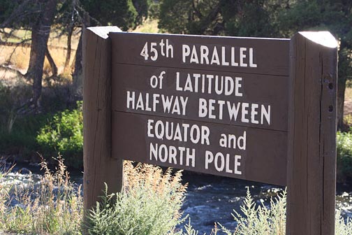
The 45th Parallel sign in Yellowstone National Park may be the most visited and photographed of all 45th Parallel markers. It is a milestone for travellers heading north or south on Highway 89, the scenic route connecting seven famous western National Parks. Heather Holbus shares this photo of the rustic wooden marker, which is located at a roadside turnout along the Gardiner River just north of Mammoth Hot Springs.
|
45th Parallel Halfway Between |
Many visitors assume that the sign also marks the border between Montana and Wyoming, because on paper the border between the two states was defined as the 45th Parallel. In August 1879, surveyors with an expedition lead by Rollin J. Reeves took 58 measurements of the north star Polaris to establish the starting point of the survey on the 45th Parallel just south of Electric Peak in the northwest corner of the park. From that point they proceeded east along the parallel to set markers defining the border between the states. Due to the limitations of the technology and equipment of the time, their survey line sometimes wavered. When the survey party crossed Sepulcher Mountain and reached the Gardiner River here, just seven miles from their starting point, they had already unknowingly strayed a half mile south of the parallel. Only later when surveying technology improved did the slight zigzags of the state line become apparent.
The northern border of Yellowstone National Park was set at neither the parallel or the Wyoming state line, but extends slightly into Montana. Two miles north of the 45th Parallel sign is the dramatic stone Roosevelt Gate which was built at the park border in 1903 to welcome visitors arriving by railroad at Gardiner, Montana.
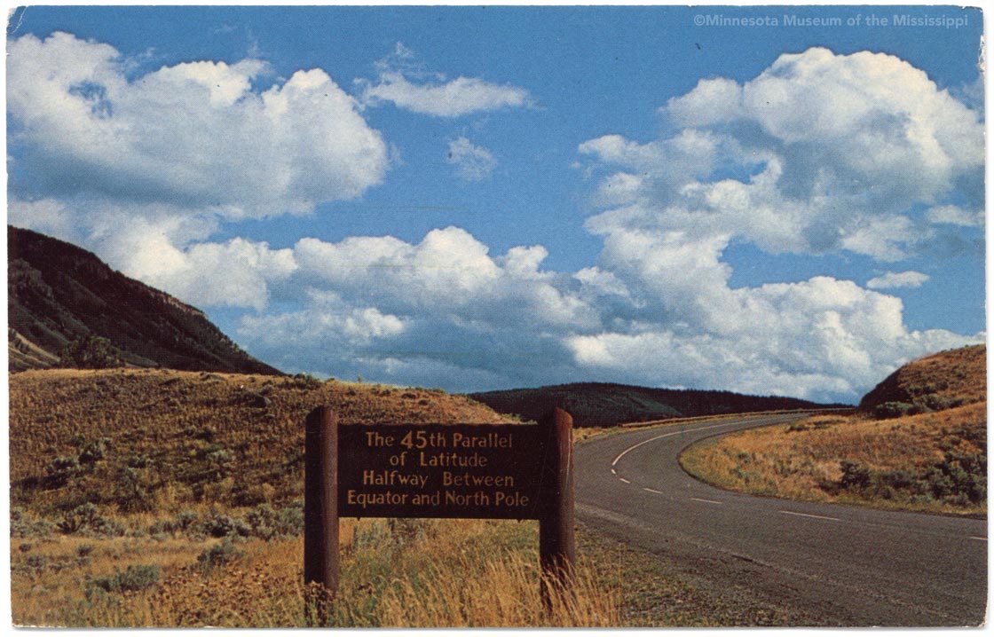
Before 2008, the 45th Parallel sign was located near the state line at the turnoff to the Boiling Springs parking area. The bridge over the Gardiner River was often referred to as the "45th Parallel Bridge". The sign had been here since at least the 1960s. No doubt the park service placed it there assuming that the state line by definition corresponded with the 45th Parallel. Now that so many visitors to the park can easily check the latitude and longitude on a GPS or phone, the park service decided to move the sign in 2008 to a location closer its actual location. The precise point where Highway 89 crosses the parallel is too close to the river to allow parking, so the sign was placed two-tenths of a mile north of the parallel where there was enough space to build a parking turnout.
Thank you to Heather Holbus for sharing a photo of the sign.
View 45th Parallel Markers in Google Maps