Stewartstown, New Hampshire
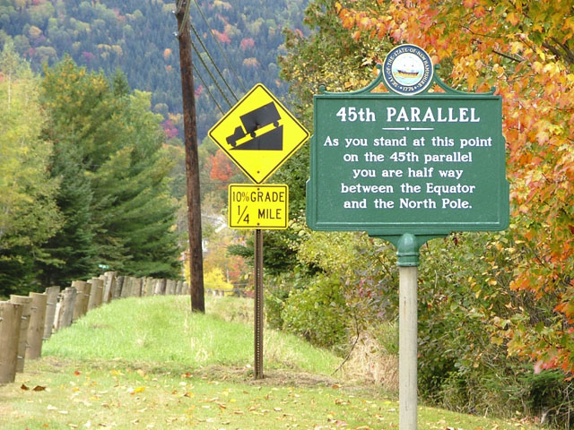
Dale Sanderson (the Map Guy) sends this photo of New Hampshire Historical Marker #64 on the north side of highway US 3 between West Stewartstown and Stewartstown, NH, at the far north end of the state, just across the river from Vermont and a mile or so south of the Canadian border.
The 1783 Treaty of Paris established the border between the United States and British Canada from the Connecticut River here 150 miles west to the St. Lawrence River along the 45th Parallel. This line had been earlier established as the Vermont–Quebec border by surveyors John Collins and Thomas Valentine from 1771-1774. Due to the primitive equipment and the harsh frontier conditions of the time, the Valentine-Collins survey mistakenly plotted a crooked line a half-mile north of the 45th Parallel. When the errors were realized many years later, local residents wondered if this sliver of land would be ceded to Canada, but the 1842 Webster-Ashburton Treaty settled the border as the previously-established wavering survey line, mistakes and all, rather than the mathematically-exact 45th Parallel line as originally intended.
|
45th Parallel As you stand at this point |
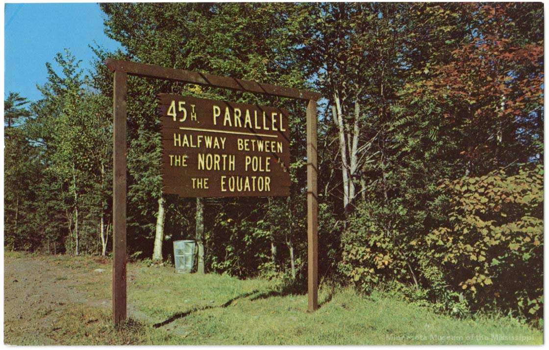
An earlier wooden sign commemorating the 45th Parallel once stood in West Stewartstown, as seen in this vintage postcard:
|
45th PARALLEL HALFWAY BETWEEN |
Five miles east of here on Highway 145, New Hampshire Historical Marker #115, placed in 1998, marks the 45th Parallel at Clarksville.
View 45th Parallel Markers in Google Maps